In today’s fast-paced world, map navigation systems have become indispensable tools for travelers, commuters, and adventurers alike. This comprehensive guide demystifies map navigation systems, elucidating their functionality, benefits, and highlighting the best navigation map applications available.
Decoding Map Navigation Systems
What is a Map Navigation System?
A map navigation system, often referred to as GPS navigation or satellite navigation, is a technology that uses satellite signals to determine the precise location of a device on Earth’s surface. It provides users with real-time navigation assistance, including turn-by-turn directions, route planning, and points of interest.
How Does Navigation Work?
Map navigation systems rely on a network of satellites orbiting the Earth, collectively known as the Global Positioning System (GPS). These satellites transmit signals to GPS receivers, such as smartphones or dedicated navigation devices, which calculate the device’s position based on the time it takes for the signals to reach the receiver.
Exploring the Functionality of Navigation Map Applications
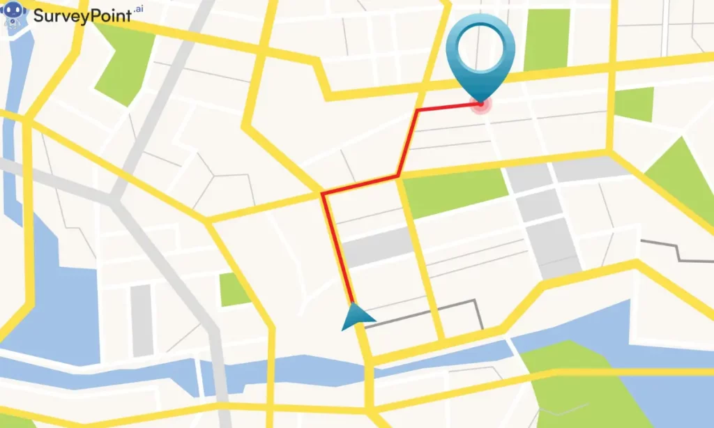
Turn-by-Turn Directions
Navigation map applications offer turn-by-turn directions, guiding users along their chosen route with voice prompts and visual cues. They dynamically adjust routes based on real-time traffic conditions, accidents, and road closures to provide the fastest and most efficient journey.
Route Planning and Optimization
Users can input their desired destination and preferences, such as avoiding toll roads or highways, and navigation map applications will generate optimized routes accordingly. They also offer features like multiple stops, waypoints, and alternate routes to accommodate diverse travel needs.
Points of Interest (POIs)
Navigation map applications include a vast database of points of interest, including restaurants, gas stations, landmarks, and attractions. Users can search for specific POIs along their route or explore nearby options, making it easy to find amenities and attractions on the go.
Best Navigation Applications
1. Google Maps
Google Maps is one of the most popular navigation map applications, offering comprehensive mapping data, real-time traffic updates, and seamless integration with other Google services. It features voice-guided navigation, offline maps, and detailed Street View imagery.
2. Waze
Waze is a community-driven navigation app that relies on user-generated data to provide real-time traffic updates, road hazards, and police sightings. It offers crowd-sourced navigation, accident alerts, and the ability to share ETA with friends and family.
3. Apple Maps
Apple Maps is Apple’s native mapping application, offering turn-by-turn navigation, transit directions, and immersive 3D Flyover views. It integrates seamlessly with Siri and other Apple devices, providing a seamless navigation experience for iOS users.
Conclusion: Navigating with Confidence
In conclusion, map navigation systems have revolutionized the way we navigate and explore the world around us. Whether you’re planning a road trip, commuting to work, or exploring a new city, navigation map applications provide invaluable assistance and peace of mind. By leveraging the functionality and convenience of these applications, users can navigate with confidence and embark on memorable journeys with ease. So, download your favorite navigation map application today and discover the world at your fingertips. For more information checkout-surveypoint.ai